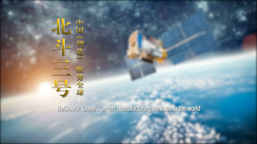
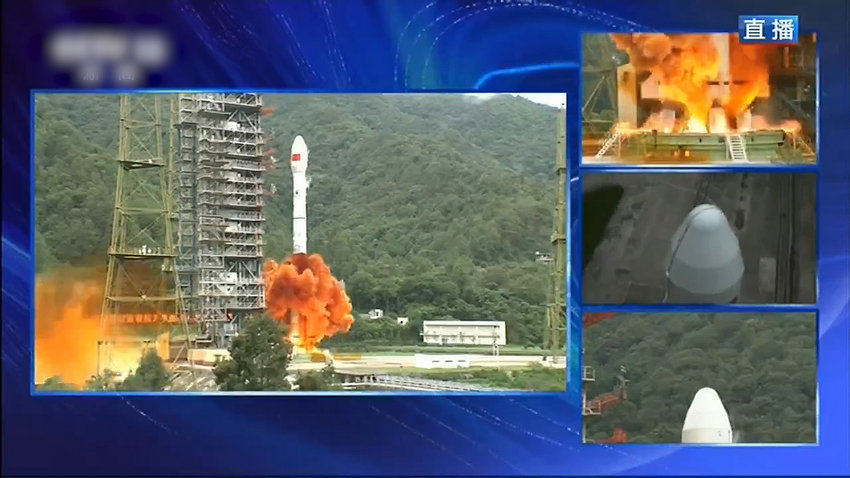
On June 23, the last networking satellite of China's BeiDou-3 Navigation Satellite System was successfully launched from Xichang Satellite Launch Center. This “final satellite” means that the deployment of BeiDou-3 has been completed in an all-round way.
In the past 20 years, the BeiDou Navigation Satellite System (BDS) has completed three stages:
In 2000, in its first stage, BeiDou-1 Navigation Satellite System was built to provide services to China;
In 2012, in its second stage, BeiDou-2 Navigation Satellite System was built to provide services to the Asia Pacific region;
In its third phase in 2020, 30 satellites are launched and the satellite network will be completed, and BeiDou-3 Navigation Satellite System will be fully equipped to provide services to the world.
As a global satellite navigation system independently built and operated by China, BDS, GPS of the United States, GLONASS of Russia and Galileo of the European Union are called the four major global satellite navigation systems. Compared with these other satellite navigation systems, BDS has many advantages, such as more high orbit satellites, which gives it a strong anti-blocking ability, especially in low latitude areas.
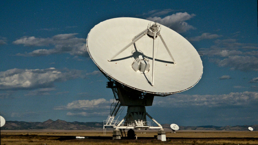
With the BeiDou Ground-based Augmentation System, BeiDou-3 Navigation Satellite System can achieve high-precision service at meter level, decimeter level and centimeter level within its coverage area. When the positioning accuracy reaches centimeter level, it can not only serve vehicle navigation and automatic driving, but also help UAV delivery and further expand the application field.
In the future, BDS will be vigorously promoted in key fields such as agriculture and transportation, including precision agriculture, high-precision mapping, smart city, 5G base station timing service, etc.
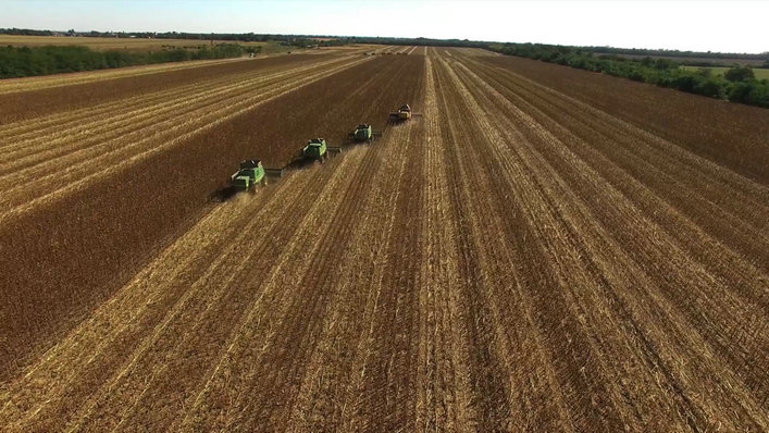
For example, in the aspect of agriculture, the agricultural machinery operation supervision platform based on BDS can realize the remote management and precise operation of agricultural machinery, and the application of agricultural machinery such as unmanned driving could generate a strong demand for high-precision BDS service; in the aspect of disaster relief and disaster mitigation, the navigation, positioning and short message communication functions based on BDS can significantly improve the quick response ability and decision-making ability in disaster rescue operations.

Now, BeiDou-3 Navigation Satellite System will provide high-precision, high reliability, high insurance and multi-functional services in any corner of the world. The development of the ‘smart’ BeiDou-3 Navigation Satellite System will serve the world and benefit mankind.
中國互聯(lián)網(wǎng)違法和不良信息舉報中心 四川省互聯(lián)網(wǎng)不良與違法信息舉報中心 中國互聯(lián)網(wǎng)視聽節(jié)目服務(wù)自律公約 網(wǎng)絡(luò)110報警服務(wù) 12321垃圾信息舉報中心 中國新聞網(wǎng)站聯(lián)盟
版權(quán)所有 中國互聯(lián)網(wǎng)新聞中心 電話:86-10-88828000
網(wǎng)絡(luò)傳播視聽節(jié)目許可證號:0105123 京公網(wǎng)安備110108006329號 京網(wǎng)[2011]0252-085號